
|
|
|
|
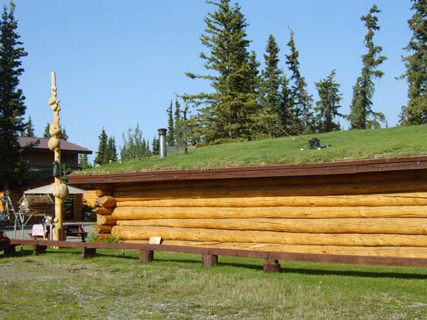
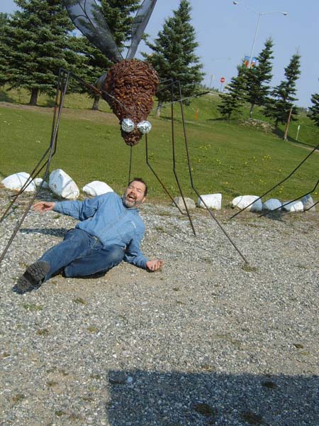
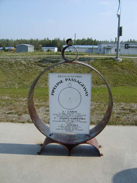
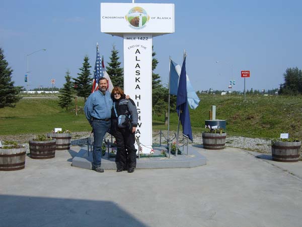
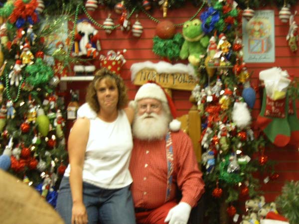
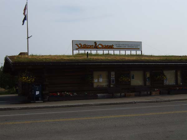
Beaver Creek, Yukon to Fairbanks, Alaska Saturday, July 4, 2009 5:00am to 2:00pm; Alaska time 328 miles We were up at 6am Pacific time (5:00am Alaska time) and finally rode into Alaska. It had been one week since we left home, which seems like another world away. This was some beautiful country as we headed toward the border. Alaska is beautiful!! A pair of swans fed in a bog and a young moose ventured down the bank at the edge of the bog. We stopped in Delta Junction, the end of the Alcan Highway, mile 1422! It was a Photo op time with the big mile marker post there. Also got our pics with the "state bird of Alaska" (giant mosquito!). We stopped next at a town called North Pole--what a hoot! The street lights look like candy canes and Santa was there, well, he does live there, right? Joyce wouldn't sit on Santa's lap, so Jeff took a picture of a stranger instead. Sent Tyler a postcard from North Pole. Saw another moose and several rabbits. we reached Fairbanks, a few miles beyond North Pole, and settled in. The air smelled like smoke in Fairbanks, but no one we asked seemed to know how far away the fires were. Obviously they were not in a panic, so neither were we. Fairbanks set a record high temperature of 80F that day. We were finally into some nice warm weather, but a lot of the stores we went into didn't have air conditioning and it was uncomfortable to stay in them. I guess if your record high in July is 80, you don't really need AC. Jeff went on-line once again; he was booking our visit to Denali. We took a little walk and went to the restaurant for a nice meal.
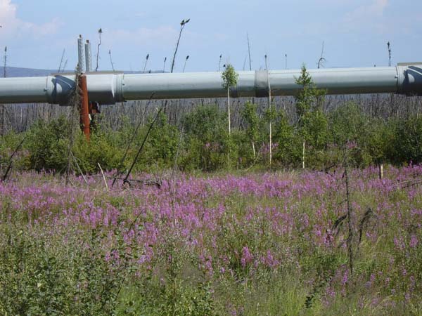
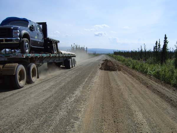
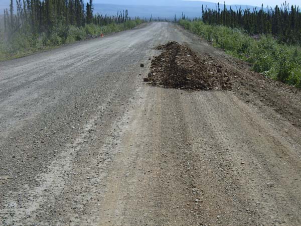
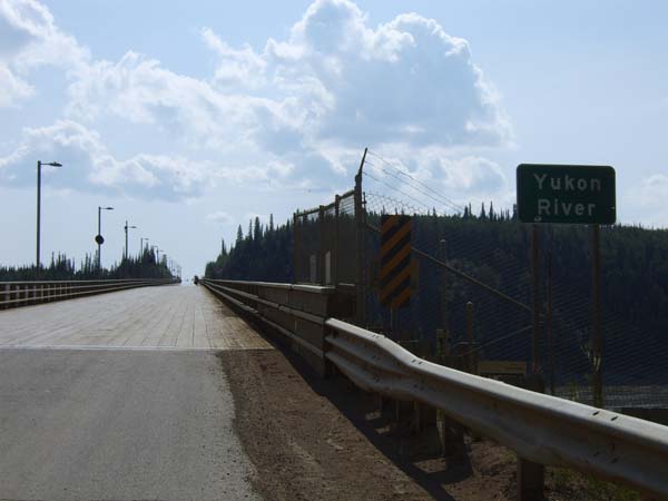
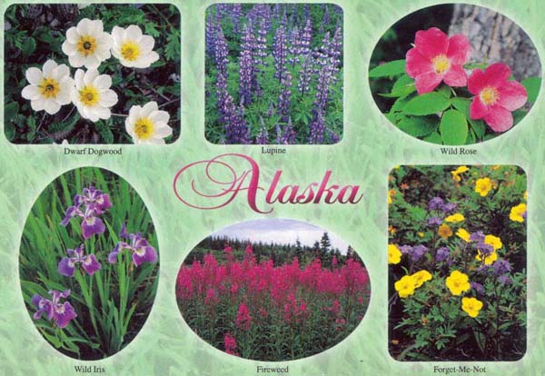
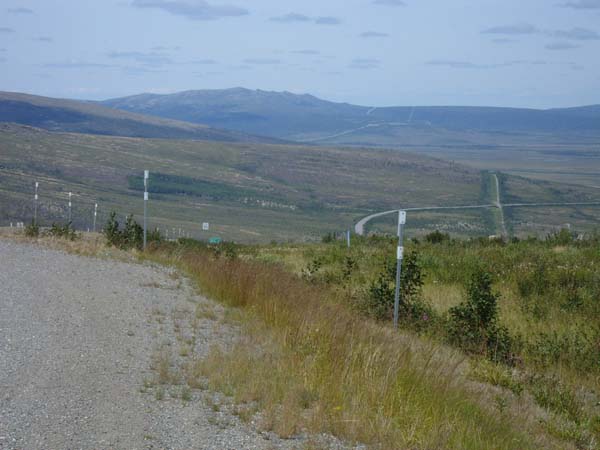
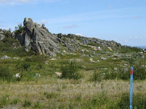
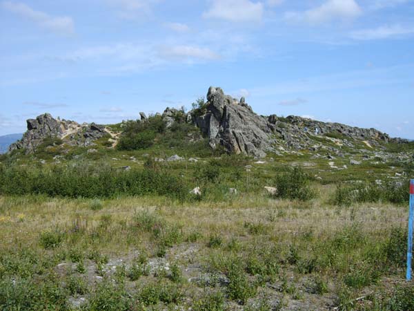
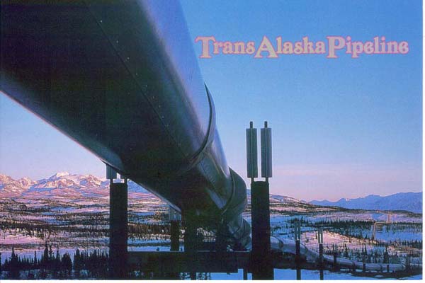
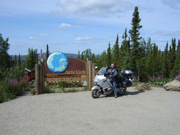
Fairbanks to the Arctic Circle and Back The drive up to the Arctic Circle from Fairbanks started out on a fairly decent road. We saw a hawk and lots of rabbits along the way. Just past Livengood, not really a town, but a road repair facility, is the start of the Dalton Highway. The word "Highway" is an oxymoron for the long dirt/gravel/pot-holed/wash-boarded road we found. It's also called the "Haul Road" as it's the only route to haul everything to and from Prudhoe Bay, the oil drilling region at the North end of the Alaska pipeline. I would be remiss if I didn't mention that there were a couple of stretches of new asphalt, but they weren't very long. Other riders told us how much worse the road is if you go north of the Arctic Circle, so that is as far as we planned to go. Besides, going all the way to Prudhoe and back would have meant another 628 miles of horrible roads; enough is enough. The Dalton highway was built during the construction of the Alaska pipeline and was not built like most roads. They just laid it out over the terrain that was there which means there are plenty of extremely steep sections with sharp twists and turns. In addition, there were a good number of trucks zipping along the road that threw dust and gravel into our path. We slowed way down when one was passing. The fist 20 miles or so was a coarse gravel road that we had to take pretty slow, not only because it was our first Dalton experience, but because it was very rough. It got a bit better after that first stretch, but was still pretty rough most of the way to the Yukon River bridge, which had a wood plank deck. We stopped for gas there and proceeded to what was actually a mostly better gravel road than the first part, except that it still had some pretty bad sections, especially as we got closer to the Arctic Circle. The road climbs above the tree line a short distance south of the Arctic Circle. The landscape lost its growth of scrawny spruce trees and was now a vast expanse of grass and whatever other small plants can survive there. Strange rock formations called tors jut out from the ground up to 40 feet high. Apparently the frozen ground caused underground rocks to be squeezed up above the surface. One tor in particular, named "Finger Rock" looks like a giant finger pointing upward. There is a beautiful mountain flower, pinkish purple in color, that grows in huge swaths for miles and miles. It's called Fireweed because it grows in the ruins of forest fires and quickly covers the scars left from the fires. I think a better name would be the Phoenix flower. We reached the Arctic Circle around 11:30am. There were lots of bugs - eeww! But it was certainly way cool! Jeff found a geocache at the Arctic Circle and left the "Rocky the Flying Squirrel" travelbug we brought from home. Jeff stopped to clean his faceshield just after we started the return trip. There were several very long smears, but he didn't remember hitting any big juicy bugs on the way up. We stopped a couple time to take pictures and he had to clean smears off the faceshield again and again didn't remember hitting any big bugs; must be those no-see-ums we have been told about??? The ride back seemed to take a lot longer than the ride up the Dalton, but we finally got off the gravel monster and onto the nice asphalt. The stretch of road back to the hotel was one of the better roads we had been on and we took advantage of it to exercise the bike a bit. We arrived tired and dusty in Fairbanks at 6:45pm. Now what!? When Jeff tried to take the GPS off the bike like he did every day, the electrical connector on the end of the power cable disintegrated. Jeff cut the bad end off the bike cord, cut the good end off the AC room charger unit he fortuitously brought along and spliced the good end onto the cable on the bike. Voila, we had a good connector again, but there was no power. He checked the fuses under the bike seat and they were good. He then checked the GPS's in-line fuse under the dash and found it blown. Unfortunately, it was a fuse we did not have a spare for. So there we were in front of the hotel. Half the fairings were off the bike as Jeff was trying to assess the situation and find a resolution. A couple on a Harley pulled up to check into the hotel. They offered to go get a fuse for us. They returned shortly and refused to let us pay them. There are good people left in the world!! God bless them! What a day. Time to relax and enjoy dinner. Tomorrow we travel to Denali.
|
       |
 |
 |
|
 |
 |
|
 |
 |
|
 |
 |
|
 |
 |
|
 |
 |
|
 |
 |
 |
|
|
Follow the links below for more pictures and narrative of our trip Intro page for our Alaskan trip Fairbanks and the Arctic Circle Anchorage and the Kenai Peninsula
Click here to return to the ORAVECS.COM website. |