
|
|
|
|
|
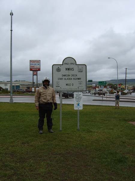
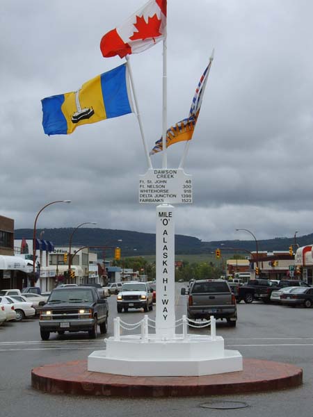
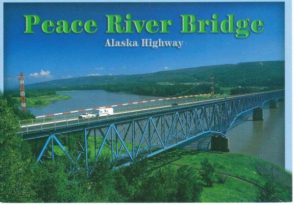
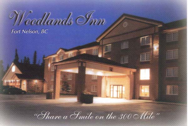
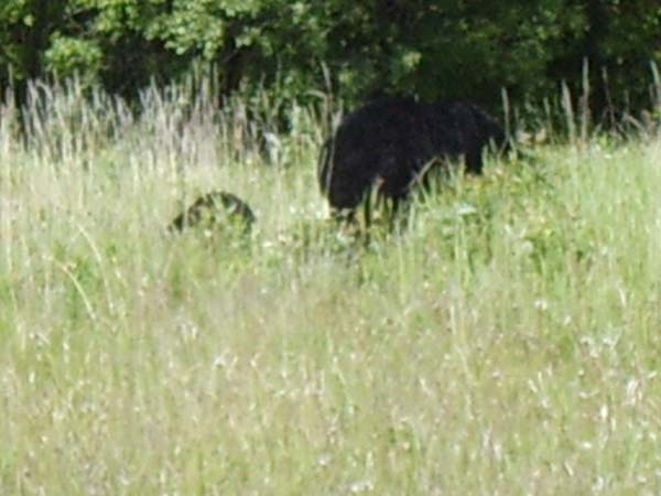
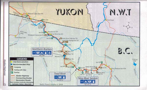
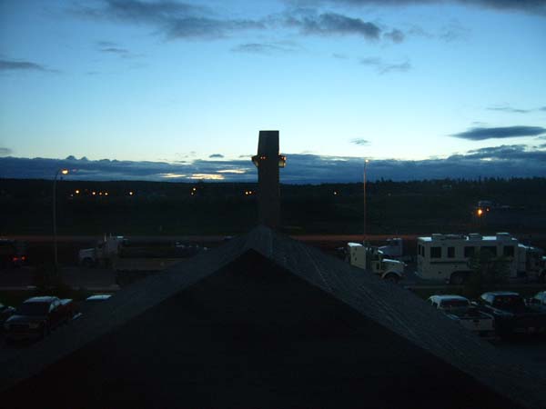
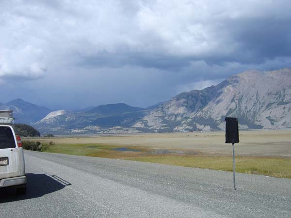
Grande Prairie, Alberta to Fort Nelson, British Columbia Wednesday, July 1,2009 6:15am to 2:15pm; Pacific time 375 miles We were up at 6:15am after turning in early. Seems sleep was needed. Felt refreshed and went off to the complementary breakfast. Hit the road at 8:15am. We soon reached the Alcan Highway. Mile "0" starts in Dawson Creek. The highway was originally organized by mapping how many miles everything was from the beginning at Dawson Creek, so a lot of places are known by their mile number. For instance, Fort Nelson, our next stop, is at mile 300. A lot of gas station, hotels, etc., go more by their mile number than their postal address. Wow! What a view! Rockies in the distance and fir trees, aspens, birch, and wildlife. We crossed the Peace River bridge, the longest suspension bridge on the Alcan. We saw a moose and her young feeding, a coyote, and several black bear with cubs. Stopped to take some pictures. Took a break for lunch about 200k shy of Fort Nelson. It was a lovely lunch, we sat with three bikers just returning from Alaska. They gave us a tip on the Laird Hot Springs just up the road from where we are staying at the Woodlands Inn, which we arrived at about 2:15 Pacific time. Jeff mapped out the route for the next couple of days to Fairbanks. Still not used to the sun setting so late. Also, the time shift takes a bit to get used to -- 10pm Mountain time = midnight IL time.
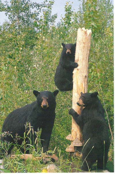
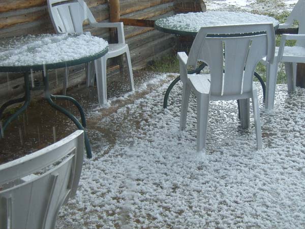
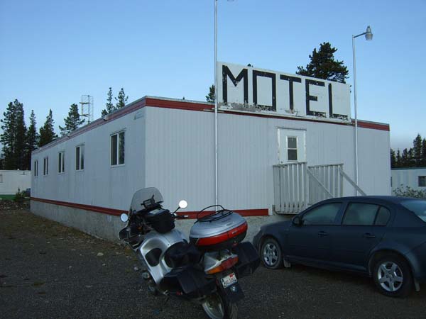
Fort Nelson, British Columbia to Continental Divide, Yukon We were up at 5:30am Mountain time. It was light out but drizzling. We were headed to the Yukon Territory and were excited. We sent a post card to our grandson, Tyler, from Fort Nelson before we left for the Yukon. The post card had a picture of a black bear and her cubs, like the ones we have seen on the side of the road. We rode through mostly rain today, with bursts of sunshine. We had our first long stretch of a gravel road on a hilly winding road. We couldn't wait for it to end. A short time later we hit a couple miles of dirt road, not gravel, but dirt and this was in the rain so it was slippery. We tried to go as slowly as we could, but part of it was downhill and that really got the adrenaline flowing. We stopped for gas a few miles later and when Jeff turned the engine off billows of smoke came up from below the bike. He thought something was terribly wrong until he looked at the exhaust pipes and saw them caked about 1/2-inch thick with mud. The hot pipes were cooking the mud and sending up the smelly steam. The woman at the Pink Mountain gas stop recommended we pick up a copy of the free Alaska Highway Guide and we're glad we did. It had pretty current information about what services were available on this remote stretch of road. We saw bear, caribou, and several moose. The moose appeared to be young and gray in color with dark hair mixed in. We stopped for lunch at a roadside diner, delicious. I had the pea soup and Jeff had the buffalo chili. Then we were back on the road and looking for gas. There were stations along the way, but not all had premium like the bike needs, and some were out of gas completely. Highway signs told us how far it was to the next gas, but some of the places were closed when we passed them. Obviously, you want to gas up more often than you think in this area because you might not be able to get gas where you would like to. Fortunately, there were enough stations that this wasn't a problem for our bike with its 6.2 gallon tank. Jeff ended up buying Octane Booster and added it to the regular octane gas those times we were unable to find premium gas. It worked like it was supposed to; no engine knocking. We arrived at the Continental Divide lodge/RV camp where we spent the night. It was rustic but they had a restaurant and guest laundry. Jeff noticed when we stopped that one of the two auxiliary lights (Motolights) on the front of the bike was dangling by its electrical cable. The attachment screw had come loose and he was able to put it back on without any trouble. The Motel is about as basic as it can get. The front door latch is a walk-in cooler latch complete with the push knob on the inside. Is this really just a large modified walk-in cooler? Who knows? Supper was the special of the night, chicken wings, stuffed potatoes skins and cheesy veggies. While we were enjoying our meal the sky opened up and rain mixed with large hail poured down and piled up--quite a spectacular show! We were thankful not to have been out in it! There were piles of hail outside the eating area of the restaurant.
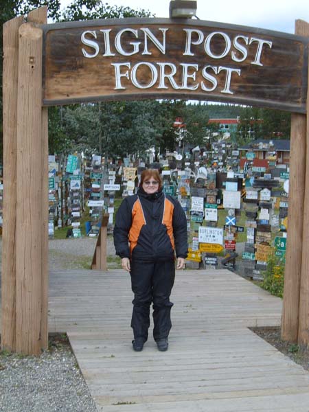
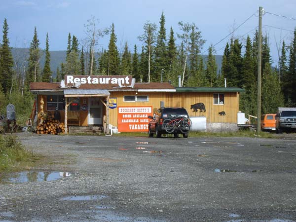
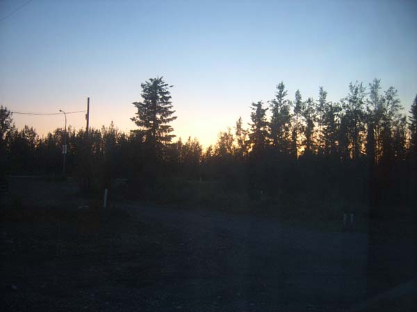
Continental Divide, Yukon to Beaver Creek, Yukon We hit the road at 5am to a beautiful crisp morning; 5 degrees C. We practically had the road to ourselves. We stopped 1 1/2 hours down the road for fuel and breakfast at the Yukon Motel just across one of the many open grate bridges we would cross on this trip. This one, though had larger than normal grating that was not level. Every 10 or 12 feet the decking rose and fell. A very unnerving feeling. Some hot tea and coffee was just the thing to warm us up on this cold morning! After breakfast, we encountered a couple of sections of very bumpy roads and roads under construction. We found the first patches of major frost heave damage a little past Whitehorse. Frost heaving is caused by the freezing of water-saturated soil which causes the upward thrust of the road surface. Some of these are pretty big and need to be crossed at speeds below 35 mph in order to avoid a big jolt to the bike's suspension and to your body. The frost heaved sections became more and more numerous as we travelled. The last 150 miles or so before the Alaska border were by far the worst. Unfortunately, we will have to ride this section again on our way home. We had a few stops and escort vehicles to ride behind on the new road or more accurately, no road; just dirt and gravel. It was hard-packed so in my opinion, better than the gravel we rode on the rest of the day and definitely better than riding on the many sections of road with frost heave damage. Dirt, gravel, pot-holed, or ice heaved, those are the only "road" varieties around here. There is no nice smooth asphalt. At most of the road construction stops where we had to wait for a pilot vehicle, the worker let motorcycles go to the front of the line. This was a nice gesture that helped keep us from breathing and eating so much dust from the big trucks and RV's we might otherwise have had to drive behind. We finally arrived in Beaver Creek and settled into our cabin at the 1202 motel, 1202 miles from Dawson City (who would've guessed). Beaver Creek is the furthest west community in Canada, or so their sign says. It is pretty remote out here. We found food a short walk from our room at Buckshot Betty's. This place is apparently infamous. A country singer, Barbara Chamberlin, wrote and sang "The Ballad of Buckshot Betty". A story of how she built a diner and worked hard, etc. Pretty cool--of course we brought the CD! We took a picture of the sunset at 1:17 am Pacific time. We are just about 30 miles from the Alaskan border so we will get there first thing in the morning.
|
         |
 |
 |
|
 |
 |
|
 |
 |
|
 |
 |
|
 |
 |
|
 |
 |
|
 |
 |
 |
|
|
Follow the links below for more pictures and narrative of our trip Intro page for our Alaskan trip Fairbanks and the Arctic Circle Anchorage and the Kenai Peninsula
Click here to return to the ORAVECS.COM website. |